Dakhoma Map
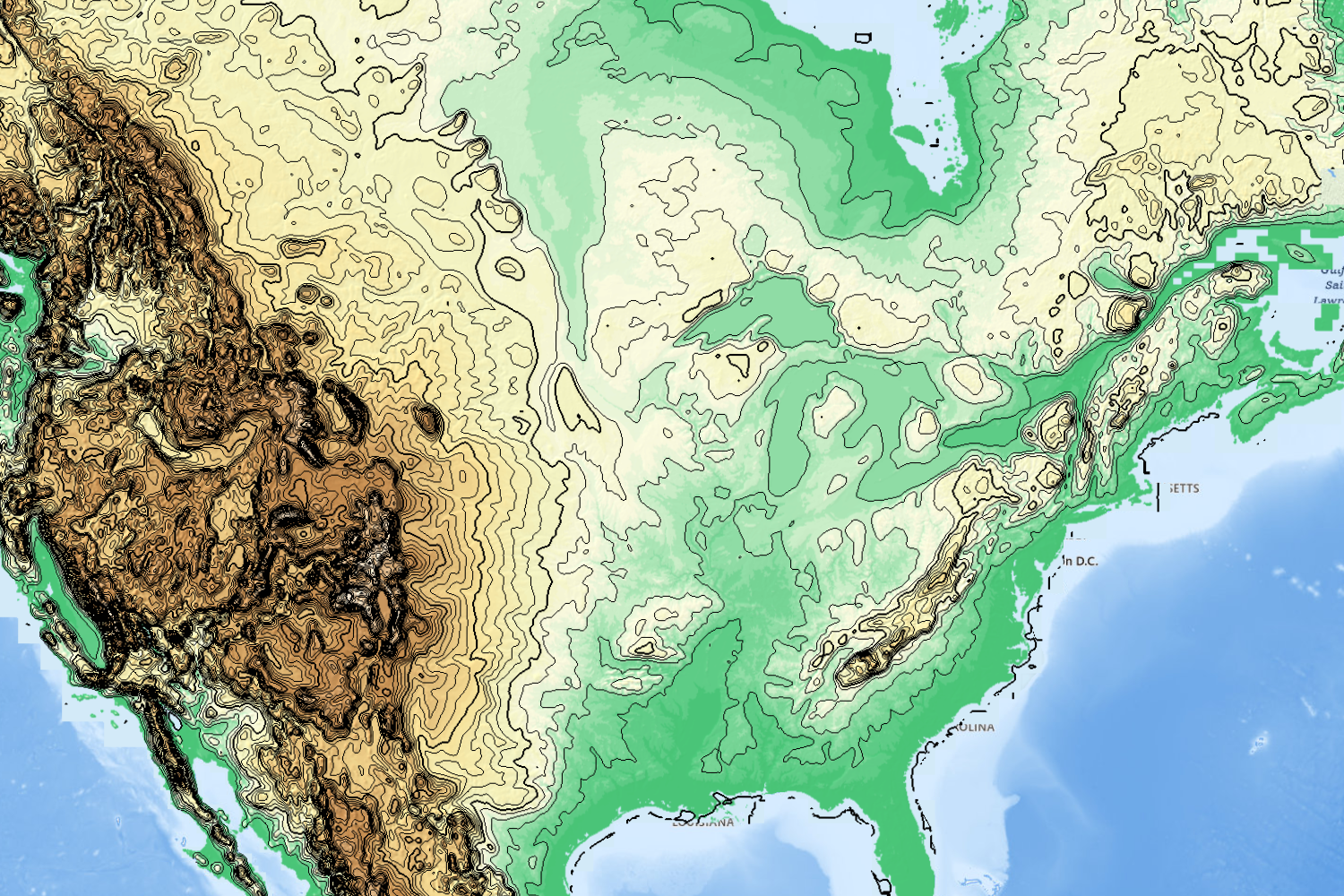
Dakhoma is a wide world, and her lands and peoples are as diverse as they are strange. This map is old, provided by an ancient underground computer named Ripple in Still Pond. Therefore the sea level indicated here is far lower than it is today, but this map remains the broadest and most accurate survey of the known lands and seas (and some unknown). Approximately all the areas shaded in green are presently underwater.